
Grove Vale and Pear Tree Area

The Pear Tree and Grove Vale area sits along side the Newton Road between the River Tame just across the canal. Footpaths link it over and under the canal to the Grove Vale area.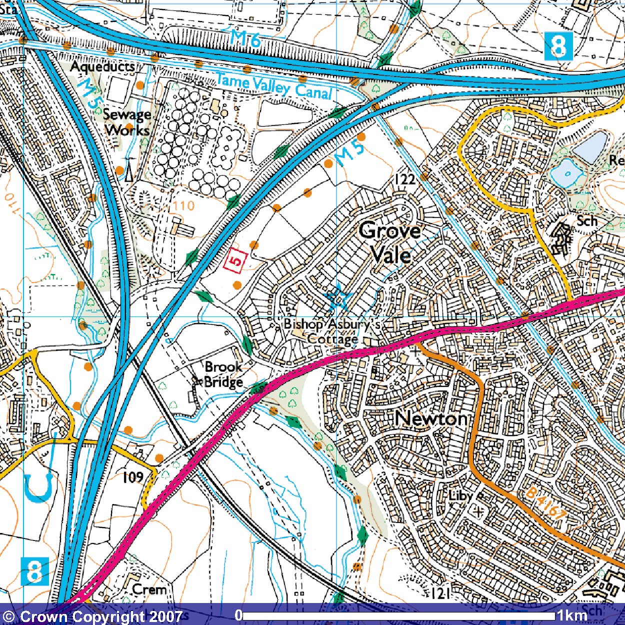
Image produced from the Ordnance Survey Get-a-map service. Image reproduced with kind permission of Ordnance Survey and Ordnance Survey of Northern Ireland.
Residential housing was developed on the site of Pear Tree Farm. The motorway separates the area from the water treatment works.

Before the motorway was built there were proposals to build a Scott Arms bypass that left the Newton Road at Grove Vale and linked up with the Walsall Road.
The Barr Hotel is situated in Grove Vale.
A depot for Birmingham daries was also in the area until being sold for housing.
Currently there are are two housing developments, Pear Tree Grange, being developed by Antler Homes and a proposed development behind the Great Barr Hotel.
The modern Grove Vale consists of housing on the Grovehill site, adjoining the Pear Tree Area. Grove Vale Farm also consists of housing with Grove Vale School and properties being developed from the 1960s' along Monksfield Avenue and Wilderness Lane.